
Romulus Postal Records
Romulus has one principal postal clue and two nearby designations that need different treatment. The principal designation is tied to the Romulus Post Office. Detroit's airport postal designation is associated with DTW and should not be treated as an ordinary residential Romulus area. A third designation appears on the approximate state map around Wayne, not as confirmed Romulus coverage. The exact delivery address is the deciding record, because postal routing, municipal limits, and parcel boundaries are separate systems.
| ZIP Code | Areas Covered | Post Office | Notes |
|---|---|---|---|
| 48174 | Principal Romulus postal area | Romulus Post Office, 11000 Hunt Street | Verify every delivery address through USPS; approximate maps are not boundary proof. |
| 48242 | DTW airport and institutional postal designation | Detroit postal address used by the airport | Do not present it as an ordinary residential Romulus area. |
| 48184 | Wayne postal area on the approximate state map | Wayne postal area | No Romulus coverage should be claimed without a USPS address result. |
The documented record does not establish a Romulus-wide postal split, renumbering, or a special post-office-box designation. It does establish the airport mismatch: DTW uses Detroit, Michigan 48242 addresses while remaining a defining Romulus institution. The Michigan DTMB ZIP map is useful for a broad visual check, but it is expressly approximate.
Note: No located source confirms a Romulus postal split or renumbering, so USPS should decide each delivery assignment.
Romulus USPS Lookup
USPS ZIP Lookup is the authoritative route for a delivery assignment. It provides an address mode, a city-and-state mode, and a reverse cities-by-ZIP route. Use the address mode for a street, city, and state. Use the city-and-state mode as a coverage check, not as a map of municipal boundaries. The reverse route is useful for confirming the postal cities associated with a known designation.
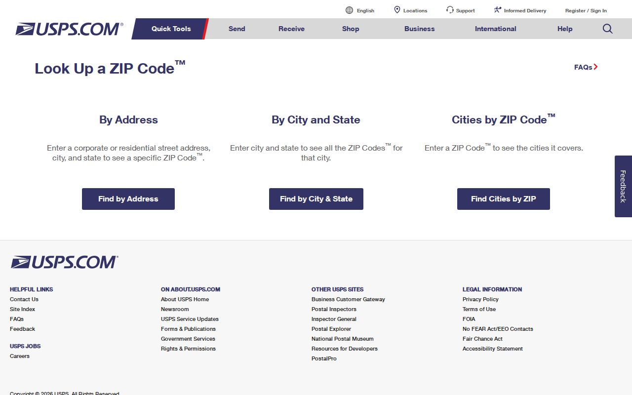
The official screen shows why an exact address matters. It provides delivery information, while the city line, a planning boundary, and a parcel's legal description must be confirmed in their own records.
| USPS field | Input type | What the route does |
|---|---|---|
| Street address | Text in address mode | Uses street, city, and state, then submits through the Go to action. |
| City and state | Text and selection in city mode | Returns designations associated with the postal city and state, not a boundary map. |
| Cities by ZIP | Optional alternate text route | Reverse check for postal cities associated with a designation. |
Romulus Postal Map Records
A postal map needs a date and a limit statement. Romulus is in south-central Wayne County, with DTW, I-94, I-275, rail corridors, and roughly 36 square miles of municipal geography. The city developed through township, rail, airport, and incorporation eras, so historic records can carry township, city, airport, subdivision, county, or postal labels for related places. Those labels should be transcribed as found rather than forced into a modern delivery label.
The City did not produce a verified table of postal realignments, ZIP splits, or street renumbering in the sources reviewed. For an address-assignment question, use the Romulus assessor's address-related forms and ask whether a number was assigned, changed, combined, or retired. Wayne County GIS and equalization supply parcel context. A lot and block reference or a metes-and-bounds description may remain useful after a street address changes.
Note: A ZIP label directs mail, while an assessor record and a parcel description identify different kinds of geographic information.
Search Romulus ZIP Code Records
A postal designation narrows a place, not a person. After USPS confirms an address, use the portal that matches the record needed. The Wayne Treasurer's delinquent-property route accepts an address or parcel ID and includes Romulus in its municipality list. It is not a ZIP-wide assessor export. BS&A starts with address, name, or parcel number and has service-specific routes, but its stable landing page does not establish that a full postal-area query returns every parcel. MVIC is an individual lookup, while a QVF request is Michigan's structured election-file route.
- Validate the delivery address with USPS and record the returned designation with the date checked.
- Use the street address or parcel ID in the Wayne Treasurer or BS&A route when the question concerns a parcel or tax context.
- Use Wayne GIS to read parcel geometry and IDs, then compare the official record for that parcel.
- For regulated election data, use the individual MVIC route or request the appropriate QVF geographic scope with its redactions.
- Move to the street-level workflow only after the postal and parcel facts are clear.
The Romulus street directory has the fuller address-by-address sequence once a postal check has narrowed the area. Do not infer a current household from an owner mailing address, a map label, or an individual voter result.
Romulus Parcel Lookup
Wayne County's tax search has two starting modes: property address or parcel ID. In address mode, Romulus can be chosen as the municipality, the street number may be blank or use its first digits, and the street name uses its first three letters without a suffix when needed. Parcel mode uses a non-Detroit parcel ID with 14 to 16 characters and no spaces or dashes. Its scope is delinquency information, not a complete appraisal card.
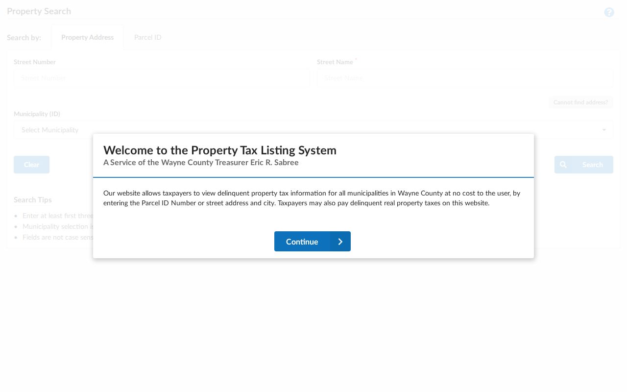
The search screen preserves the difference between a municipality selection and a postal filter. It can help connect a confirmed address to its parcel context, but it should not be described as a roster.
The BS&A Romulus portal provides separate address, name, and parcel-number starting points, along with tiles for current tax, assessing, property sale, building, utilities, and detailed records. The City says City Hall records may be viewed free during normal hours and warns that online data can be incomplete, untimely, or inaccurate.
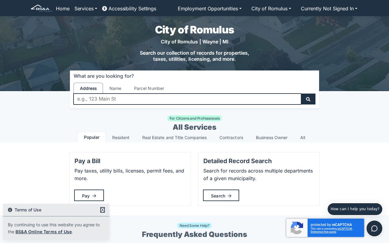
For a deeper property question, the Romulus Assessor is the follow-up route. Public appraisal-card fields can include legal description, lot dimensions, values, improvements, sale date and price, square footage, tax maps, and year built. The assessor page does not promise that every field is online.
Note: An assessor or tax result concerns a parcel and may not identify the person receiving mail there.
Romulus Community Records
Postal designations do not create neighborhoods. Jones Sub, Junction Subarea, downtown Hunt Street historical park, airport and industrial areas, rail corridors, and major roads are local contexts found in City material. Their boundaries should be checked with the relevant map, planning notice, parcel layer, or archive record. A label on a community page does not identify every person who lives within an area or belongs to a group.
Romulus community organizations provides public civic contact context, including Jones Sub and Junction Subarea references for listed groups. It does not supply a member roster.
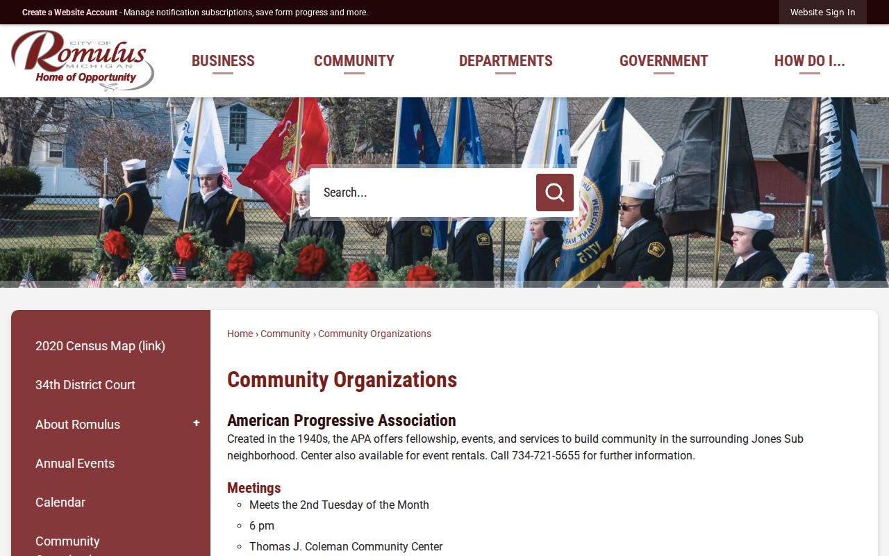
The city listing can support a community-history search alongside newspapers, planning files, or the Museum Archives. It should not be used to infer a resident's membership, address, or current connection.
Romulus Airport Record Trail
The airport makes Romulus unusually easy to misread in postal research. DTW's official contact uses 11050 Rogell Drive #602, Detroit, Michigan 48242, although the airport is a defining Romulus institution. In contrast, 48174 is the principal Romulus postal clue. The distinction matters when an old address, a court entry, a parcel, or an organization record carries Detroit rather than Romulus. It describes how mail is addressed, not a change in the municipal record custodian.
Romulus's master plan places the airport's beginning in 1927 and its expansion in the 1940s. The same local history includes township formation in 1835, rail development in 1870 and 1880, and city incorporation in 1970. Those shifts explain why a historical record can use a township, city, airport, subdivision, county, or postal label for a related place. Preserve the label that the source uses and compare it with the record date.
The ZIP code directory is most useful when it stays narrow: verify delivery first, then use the relevant city or county source for the next fact. For a parcel, that means GIS or assessment records. For a court matter, it means the court and case number. For historic context, use the Library or Museum rather than trying to translate a postal label into a resident identity.
Romulus ZIP Record Boundaries
A ZIP code is a postal routing label, not an E911 address and not proof that a parcel is inside Romulus city limits. The airport's Detroit 48242 designation is the clearest local mismatch. An address can carry a postal-city label that differs from the city jurisdiction, and an approximate map can show a nearby designation without proving delivery coverage. For city records, ask Romulus Planning or Assessment about a dated address or parcel. For a parcel boundary, use Wayne County GIS. For a delivery assignment, use USPS. Archive entries should retain their original postal wording alongside a dated location note.
- ZIP and ZIP+4
- The five-digit code identifies a broad postal area. The added four digits refine delivery sorting for a narrower address group.
- PO-box designation
- A designation used for post-office boxes. It does not establish the physical location of a parcel or household.
- Unique designation
- A postal designation associated with a single institution or large receiver. The DTW postal pattern is an important local example to verify by address.
- Carrier route
- A delivery sequence used by postal operations. It is not a municipal boundary, a neighborhood boundary, or a public resident list.
Address check. Preserve the USPS result, parcel ID, map date, and municipal source separately. Each answers a different geographic question about Romulus.
Note: Keep a dated USPS result with any map or parcel record used to interpret a Romulus address.