
Romulus Block Sources, Parcel by Parcel
A block lookup is strongest when each source has a narrow role. Wayne GIS establishes which parcels meet or face the subject parcel. Assessment and BS&A records add public property facts. Deeds provide recorded transfers. Planning notices and the Archive Center show public decisions affecting an area. Library and Museum sources supply historical setting. The result should describe a source-backed block, not claim a list of people who currently live there.
| Block source | What it documents around an address | Romulus access and limit |
|---|---|---|
| Wayne Parcel Viewer | Parcel shapes, IDs, adjacent relationships, and county map layers | Online map and service; map context is not an occupancy roster. |
| BS&A and Assessor | Parcel characteristics, public tax context, sales, values, improvements, and legal description | Online entry routes or assessor office; owner and mailing data do not prove occupancy. |
| Register of Deeds | Recorded transfers and encumbrances affecting a parcel | Free limited index, paid expanded access, office kiosk, or mail. |
| Archive, BZA, and Planning | Public notices and decisions connected to a site or area | Archive search or a defined city-record request. |
| Voter/QVF route | Public registration fields under state scope and redaction rules | MVIC is individual-facing; structured data follows the state request process. |
| Library and Museum | Historic maps, newspapers, directories, genealogies, and local context | Library, Museum, digitized materials, or a repository inquiry. |
Start by recording the map source and access date. Then keep each parcel relation simple: shared line, shared street edge, or facing parcel. That discipline is useful when a road, plat, flood layer, airport-related area, or subdivision changes how a block is understood.
Map Immediate Romulus Parcels
The adjacent-parcel method begins in the Wayne Parcel Viewer service. Locate the subject parcel, note the parcel IDs that share a boundary or street edge, and inspect the map context before opening any other record. The research did not verify stable labels for every live map control. If the live viewer has a select tool, use it. If it does not, use the map view and parcel-service links rather than claiming a buffer or radius function that has not been confirmed.
- Locate the address and identify its parcel geometry, ID, street edge, and any visible subdivision or plat clue.
- Record only parcels that share a line, corner, or street relationship with the subject parcel.
- Open the associated BS&A or assessor context for property facts, then retain the legal description with the parcel ID.
- Use the Register of Deeds only for a defined recorded-transfer question tied to that parcel.
- Move to archive or planning records when the question concerns a public project, zoning context, or dated neighborhood change.
The official Parcel Viewer service is the map-side source for this method.
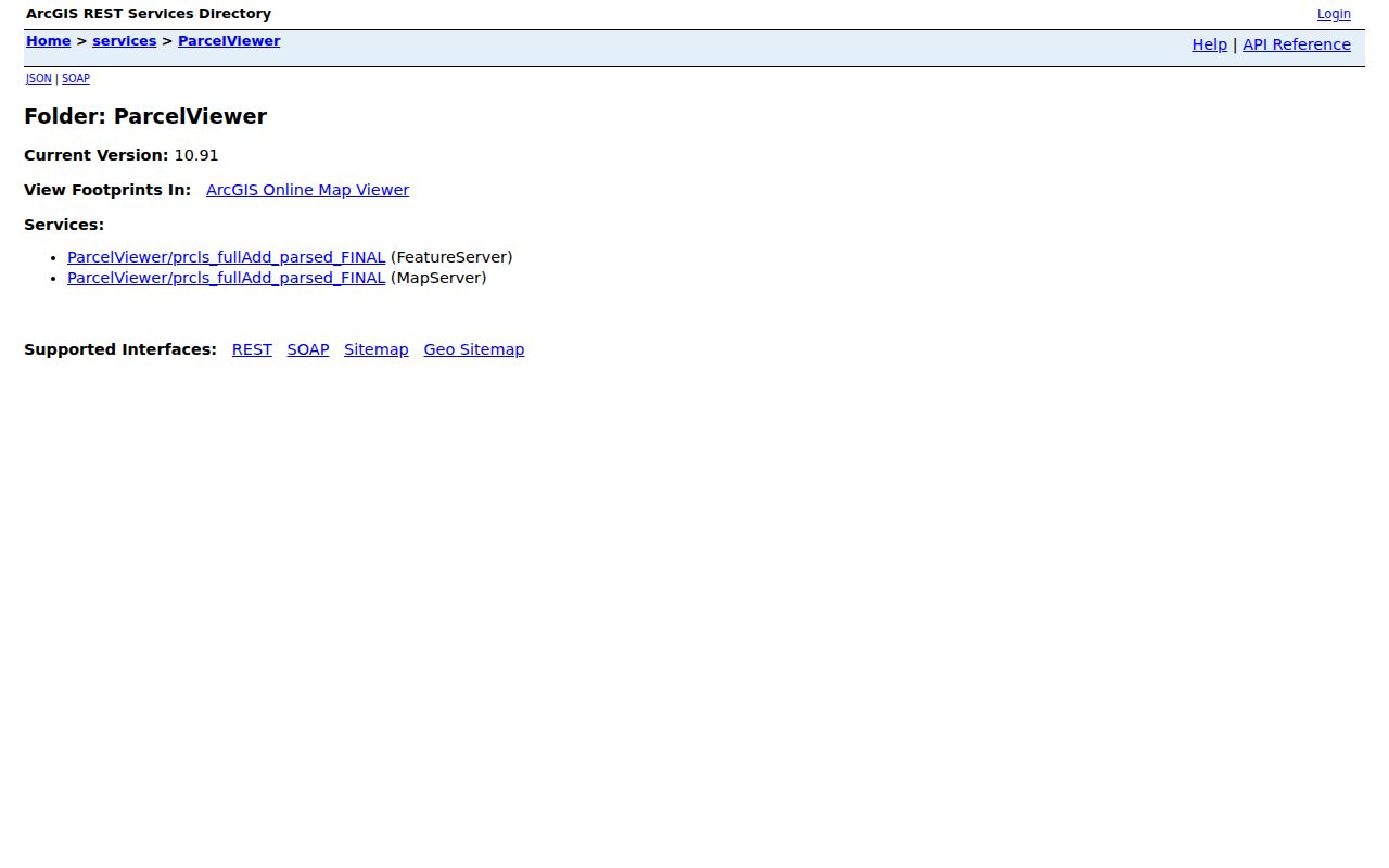
The viewer supplies geography, not a conclusion about a household. For a whole named street rather than an immediate block, use the separate Romulus street directory record chain.
Compare Romulus Neighbor Record Types
Each official record has a distinct claim. A parcel card can identify a parcel, values, improvements, sales information, tax-map context, and an assessed party. A recorded deed can identify parties to an instrument and the legal description. Neither one establishes who occupies a property today. An owner mailing address is a tax-contact field, not a substitute for a current resident address.
| Official parcel and records route | Commercial neighbor-tool category |
|---|---|
| Identifies a defined map, assessment, deed, or public-planning record with a custodian and access route. | May combine brokered addresses, phone data, public-record matches, and inferred relationships. |
| Has stated coverage, field limits, and a correction channel at the responsible office. | May be stale, merge same-name people, charge fees, or lack authoritative completeness. |
| Supports a documented parcel story when the map date and record date are retained. | Should not be used to expose living people or turn a block into a personal roster. |
BS&A Romulus offers address, name, and parcel-number entry points plus property and city-service routes.
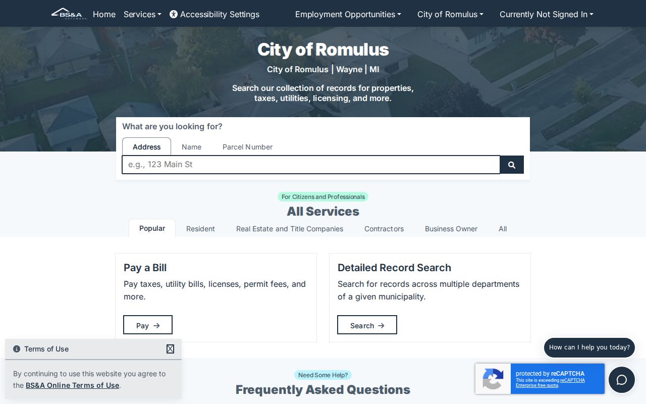
The stable landing page does not promise every detail for every parcel. For an appraisal-card question, the City Assessor can provide the official inspection or request channel.
Romulus Neighborhood Planning Records
Block context is often public planning context. The Romulus Archive Center can be searched by keyword, archive category, time period, and start or end date. Its documented categories include BZA, planning notices, election-school district material, election results, budgets, audits, water quality, TIFA, DDA, and millage. A dated planning item can explain a public project or land-use decision near a parcel without assigning personal details to nearby households.
When an existing record is not in the Archive Center, a narrow request under Michigan FOIA can identify the department, existing record type, date range, parcel or project, and requested format. Romulus accepts a form or letter, email, fax, mail, or documented verbal request. The ordinary response period is five business days, with a possible ten-business-day extension. Ask for a fee estimate before work proceeds when the expected cost matters.
Its category and date-search paths help narrow a request to a public record series. Planning files can describe public land use or a decision date. They should not be used to infer present occupancy or private contact information for a block.
A useful request gives the parcel or project identifier and a limited date span, then asks the City to release segregable non-exempt material if part of a record is protected.
Note: A request asks for an existing non-exempt record; it does not require the City to create a neighbor list or determine a person’s status.
Romulus Neighborhood Organizations and Contacts
The City’s Community Organizations listing supplies civic context and public contacts, not a membership directory. The research identifies American Progressive Association with Jones Sub context and Romulus Civic League with Junction Subarea context. It also identifies Friends of the Library, the Historical Society, Rotary, the Chamber, VFW, and public library or museum institutions. No official umbrella neighborhood-association directory, HOA roster, congregation roster, or block-watch roster was located.
American Progressive Association
City-listed civic organization with Jones Sub context. Use its public contact route for meetings or civic information, not household membership.
Romulus Civic League
City-listed civic organization with Junction Subarea context. A public listing does not identify every person connected with the area.
Historical Society and Friends
The Historical Society is listed as meeting monthly at the Historical Museum. Friends of the Library adds public institutional context and local-history support.
The City’s public organization page is the source for those civic contacts and area labels.
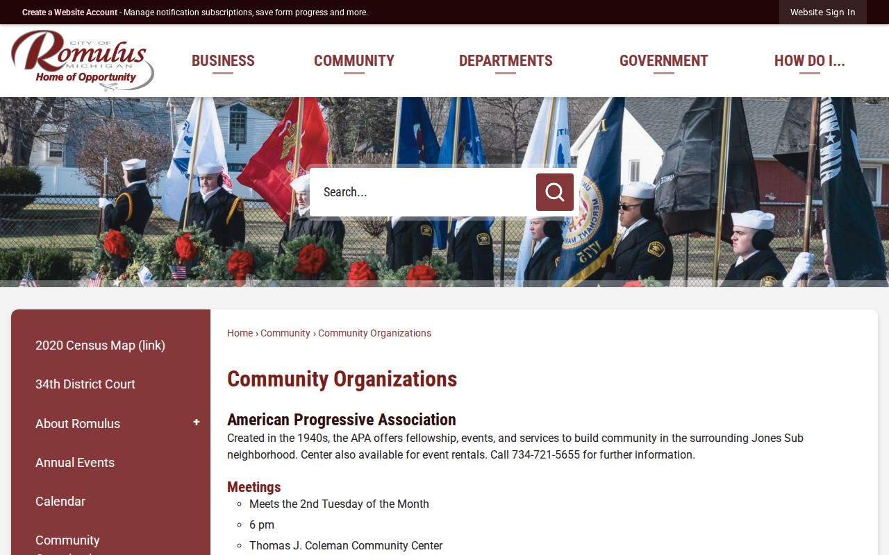
Public meeting and contact information can help explain a neighborhood’s civic history. It does not establish who belongs to an organization at a particular address or time.
Romulus Historic Block Sources
For a historical block question, the Museum and Library are more useful than a current-property assumption. The Romulus Historical Museum and Archives holds old maps, assessment rolls, genealogies, photographs, documents, Civil War diaries, Underground Railroad evidence, and early African-American family material. The Library documents digitized Romulus and Huron newspapers from 1968 through 2008 and high-school yearbooks beginning in 1945, with gaps and access limits.
Those sources can connect a street, parcel, organization, public event, obituary, or planning item to a date. OCR must be checked against the source image. A historical map or newspaper mention is evidence of a published association at that time, not proof that a person remains at the address now.
The Historical Park and Archives page describes the City’s collection of maps and local records.
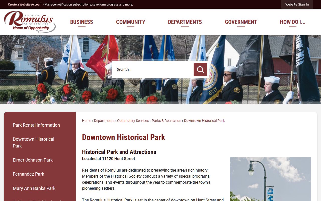
The 1839 schoolhouse that houses the Museum and the nearby 1855 Kingsley House add local context for a historical map or assessment-roll search without creating a list of living neighbors.
Romulus Neighbor Maps Need Dates
Wayne GIS is a map service, not a person lookup. Preserve the map URL, access date, visible layer, and parcel relationship before comparing it with a city or county record. Zoning and FEMA layers can describe public planning geography. They do not identify a household. A parcel number can also change through a split or combination, so compare the legal description rather than assuming the current map label covers every earlier record.
Romulus records may be labeled township, city, airport, subdivision, county, or postal area depending on the period. Rail, airport, and city-incorporation history help explain those labels. They do not change the basic block method: map the parcel first, identify the relevant public record, and state the date and source for every conclusion.
Privacy Limits on a Romulus Block
Public parcel data does not make all information about a block public. Household members, utility customers, delivery records, unpublished phone data, protected voter fields, and confidential-address information are outside a responsible block lookup. Michigan voter records have redacted fields, and the Michigan Address Confidentiality Program provides substitute-address and mail-forwarding protections for qualifying participants.
Lawful use. Romulus neighbor research can support civic curiosity, family or property history, and understanding public planning. Michigan’s anti-stalking statute, MCL 750.411h, addresses repeated unconsented conduct under the conditions set by law. Never use a block record to watch, contact, intimidate, or harass another person.
Keep the output restrained: parcel relationship, public map layer, record date, source URL, and uncertainty. That gives a documented block useful context without exposing private information or overstating what public records prove.